€0
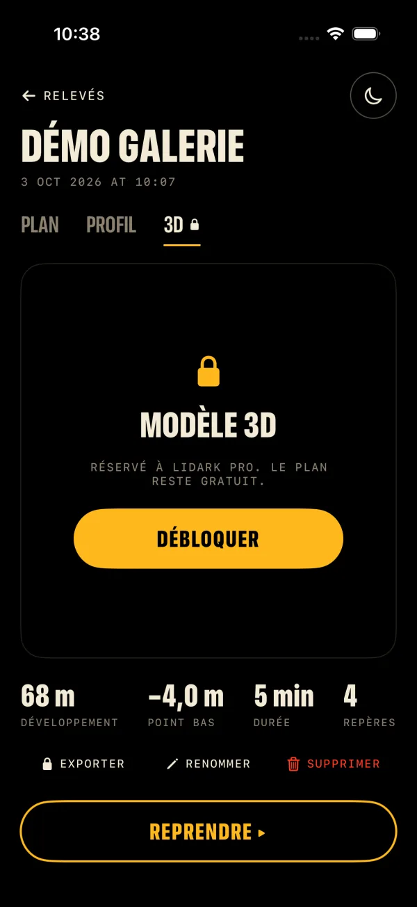
- 3 saved surveys
- Scanning, minimap and way back to the entrance are always free
- Temporary scan without saving, beyond the 3 surveys
 Lidark
Lidark turns your iPhone Pro’s LiDAR into a living map: see where you are, where you came from and how to get out. No network, no GPS, no account.
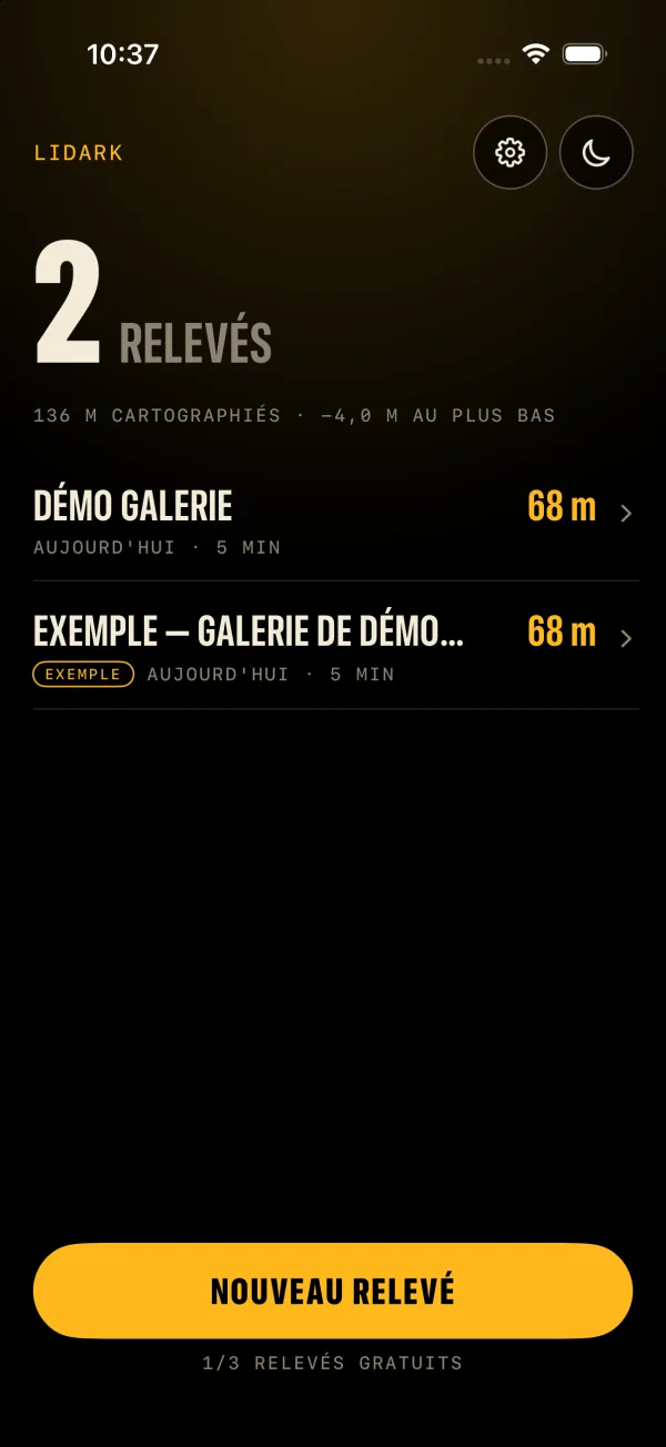
Three moves, no network. Everything is computed on the iPhone, in the gallery.
Start a survey at the entrance and walk on, sweeping the walls. The iPhone’s LiDAR measures the rock, ARKit tracks your position to the centimetre.
Walls, walkable floor coloured by altitude, the path you walked and your heading appear live. Drop landmarks: junction, shaft, danger.
Lidark computes the real distance to walk along your path to the entrance and points an arrow at the next stretch.
Wherever GPS stops and you need to keep track of the way, within the law and with the usual precautions.
Keep a record of the path you walked and the way back during an exploration with the owner’s permission.
Read the guide →Operators, surveyors, inspectors: a quick gallery plan and an exportable 3D model, to complement your instruments.
Read the guide →A 3D survey of a cave alongside classic topography, with return distance and altitude profile.
Read the guide →Document a cellar, a tunnel, a crypt or an authorised visit: a dated 3D model for the archives.
Read the guide →Mark landmarks in an underground structure and keep the way out in view; an aid, never a substitute for procedures.
Read the guide →Which iPhones have LiDAR (iPhone 12 Pro and later), how 3D scanning works, its limits and how to scan a gallery well with Lidark.
Read the guide →LiDAR sends out invisible pulses of light and measures how long they take to come back: that is the distance to every surface, whatever the ambient light. iPhone Pro models, from the iPhone 12 Pro on, carry this sensor, which reaches a few metres.
ARKit assembles these measurements into a 3D mesh of the gallery and tracks the iPhone’s position with the camera and motion sensors. Lidark derives the minimap, the plan and the 3D model from it, entirely on the device.
One limit to know: position tracking is visual. It needs a little light, hence the automatic torch, and walls with some relief. A long smooth corridor or a wet surface can fool it.
Underground, your eyes adapt to the dark and a bright screen wrecks that. A moon button, on every screen, turns everything red in one tap, like cavers’ lamps.
Text, 2D plan, 3D model and even the camera feed: everything goes red at once. A pure black screen also switches off OLED pixels and saves battery.
€0
€4.99
One-time purchase, no subscription
iPhone Pro models with the LiDAR scanner: iPhone 12 Pro and 12 Pro Max, then every later Pro model. Lidark requires iOS 17.6 or later.
Yes. It is what measures walls and floor. An iPhone without LiDAR (non-Pro models, SE) shows “LiDAR required” and cannot start a survey.
The iPhone’s tracking is visual: it needs light. The torch switches on automatically in the dark and can be toggled with the torch button while scanning. Keep it on, move smoothly and sweep the walls too. Moon mode turns the screen red to preserve night vision.
3 saved surveys. Scanning, the minimap and the way back to the entrance always stay free, temporary scans included. Lidark Pro (€4.99, one-time purchase) unlocks unlimited surveys, resume, the 3D view and export.
In Settings, tap “Restore purchases” (or from the Lidark Pro screen), with the same Apple ID you bought with. There is no subscription.
No, it is an orientation aid. It replaces neither a guide, nor a rope, nor a prior reconnaissance of the cavity. Respect restricted access and never rely on your phone’s battery alone.
Scanning, the minimap and the way back to the entrance are free. Install Lidark before your next descent.